Kerlingarfjöll Rhyolite Mountains
22 worksFirst upload: Dec 2017Peak: 2021Last 12 months: 1
📝 Description
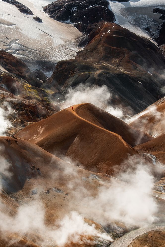
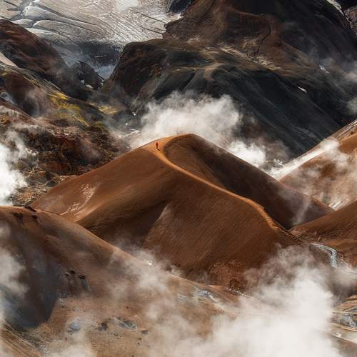
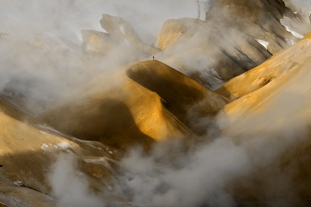
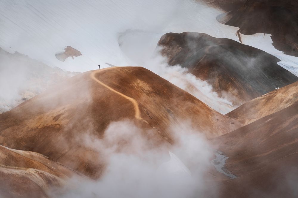
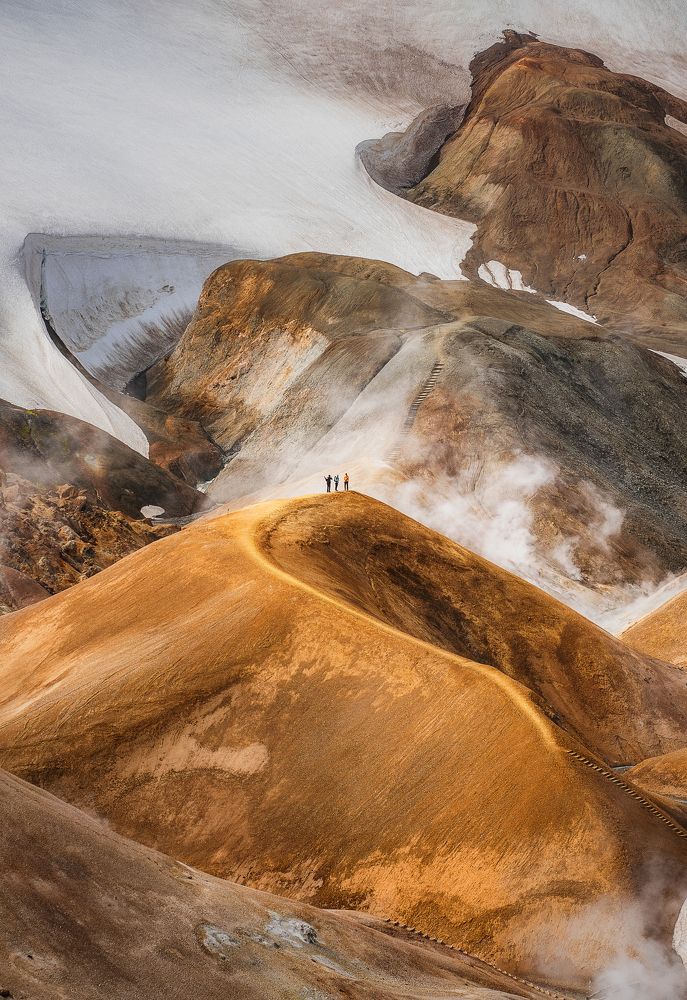
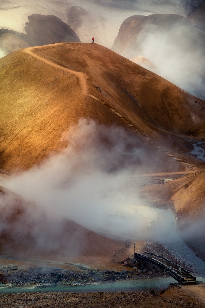
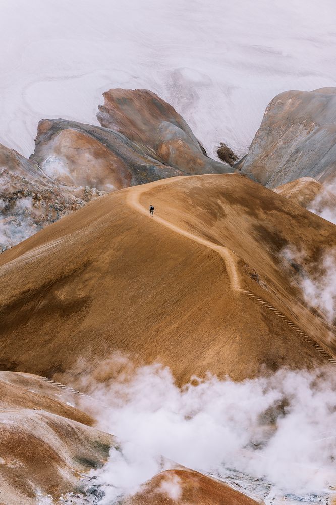
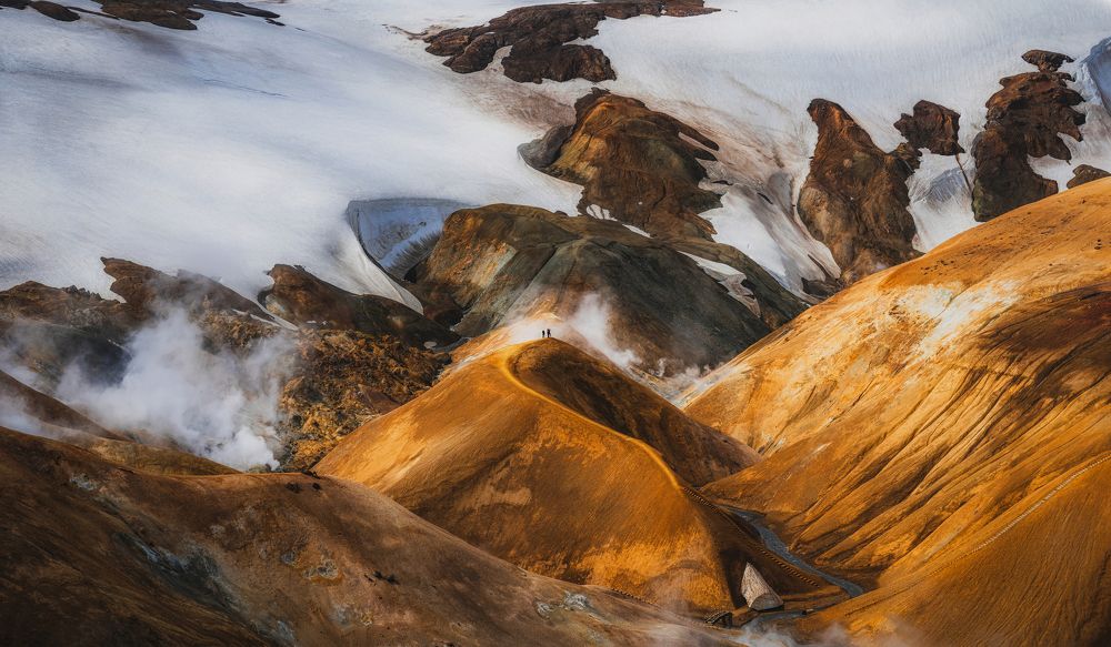
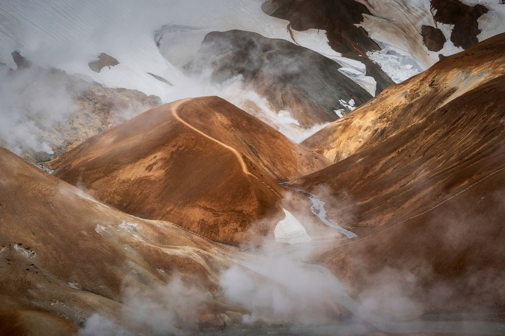
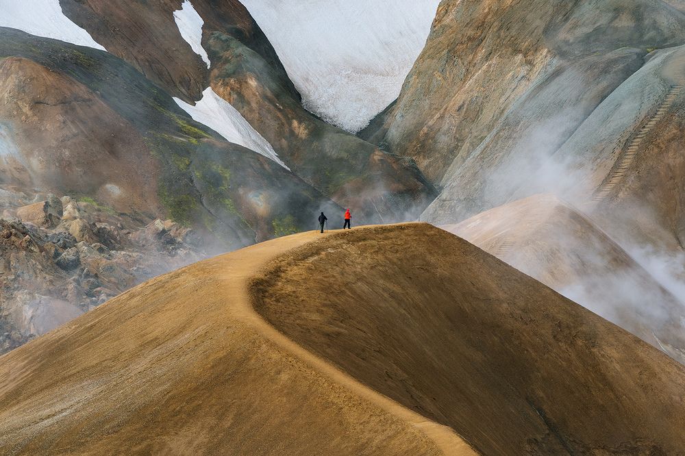
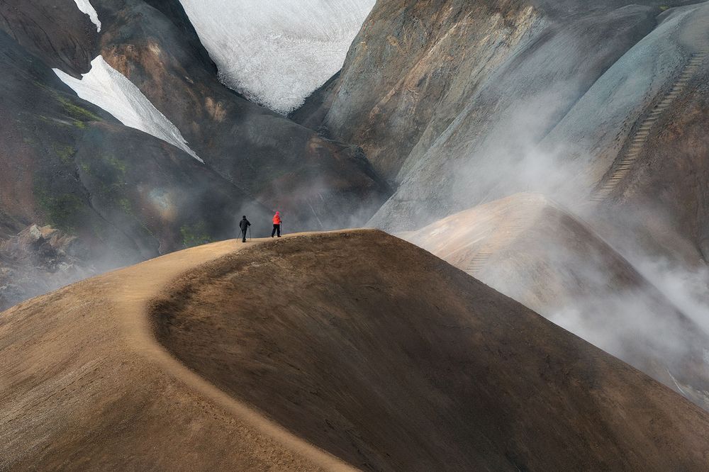
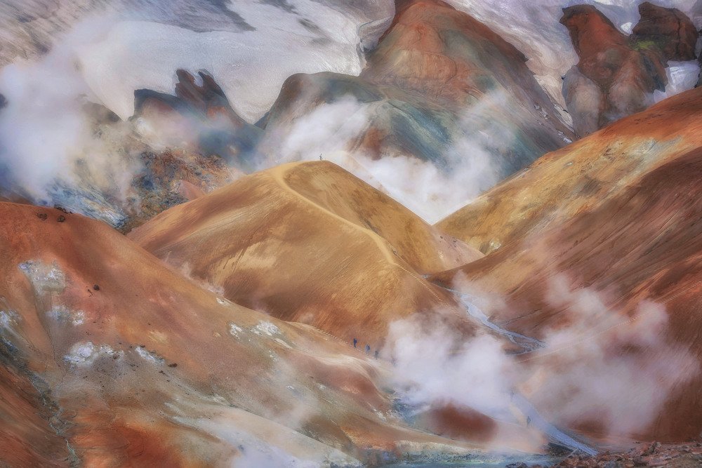
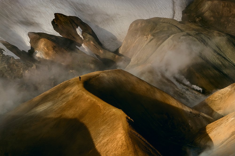
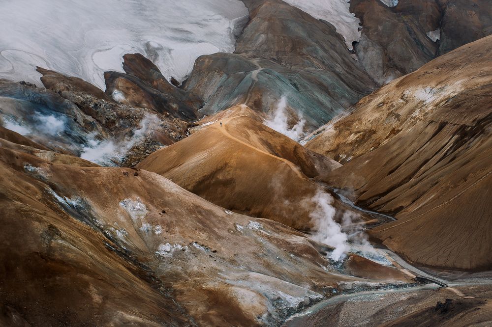
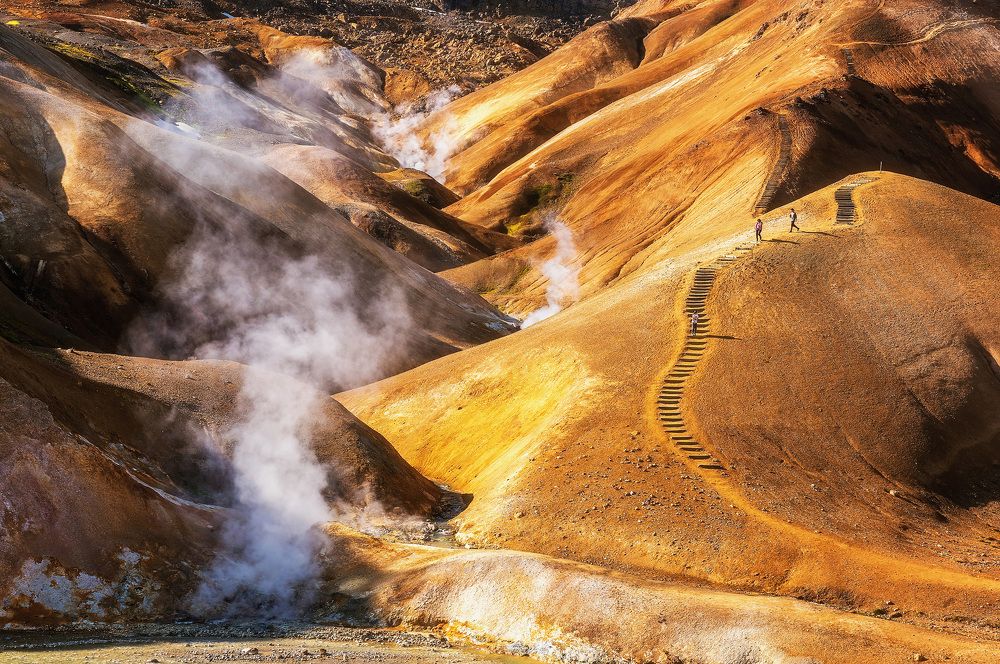
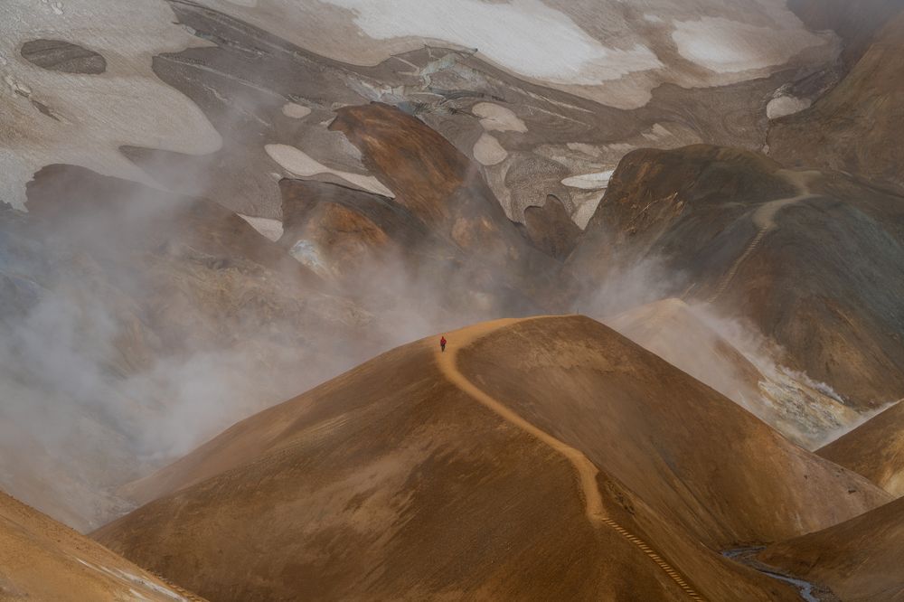
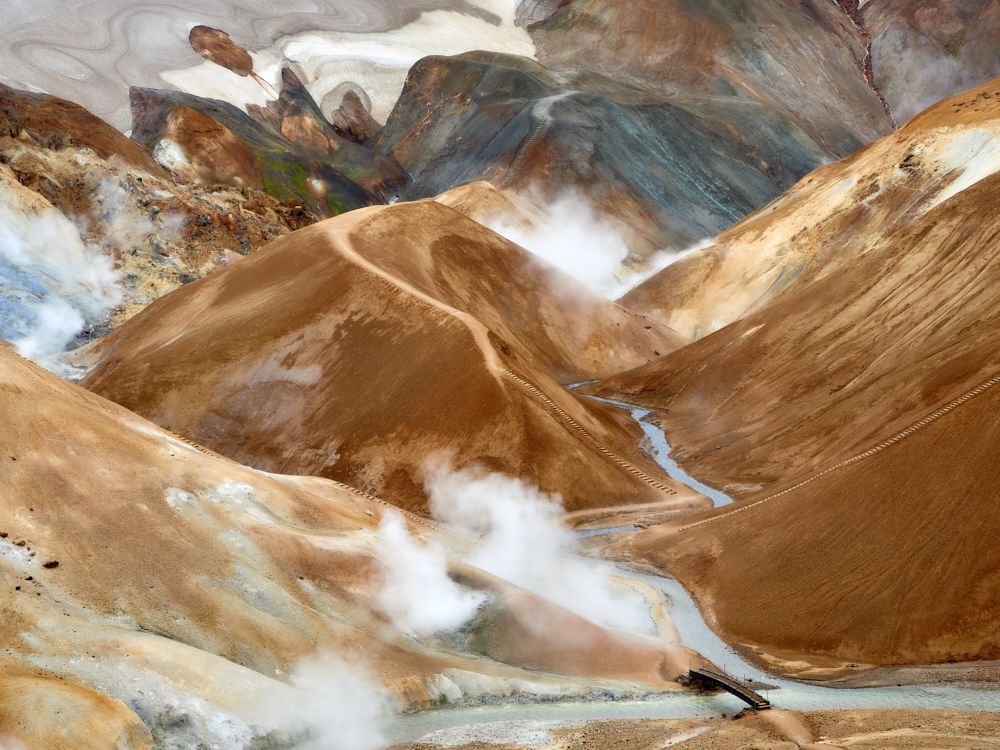
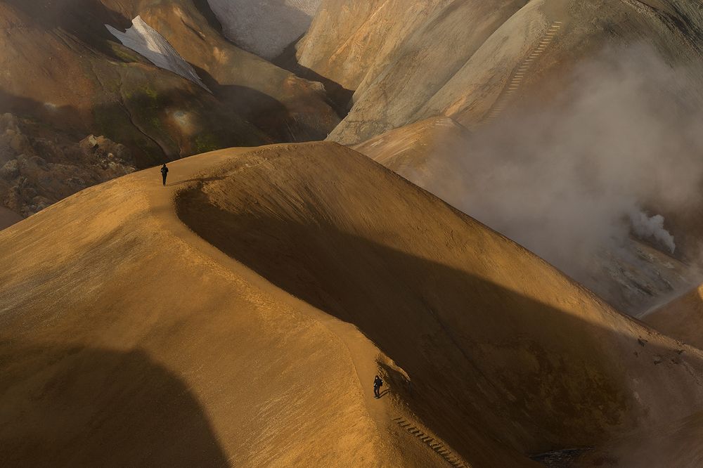
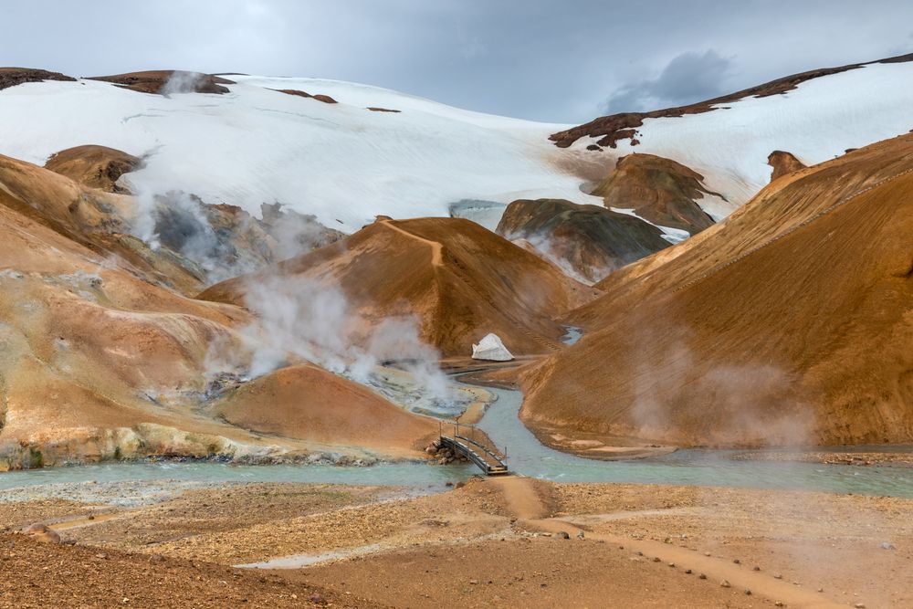
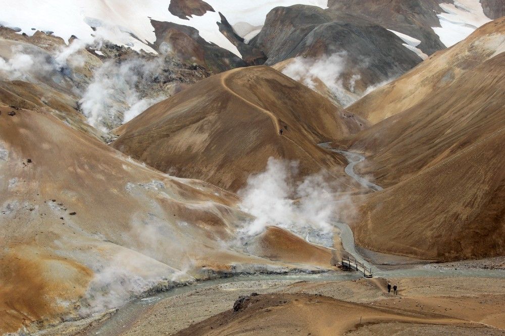
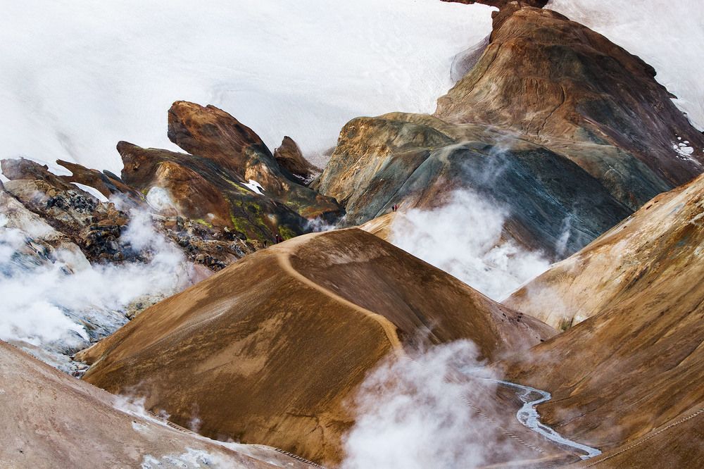
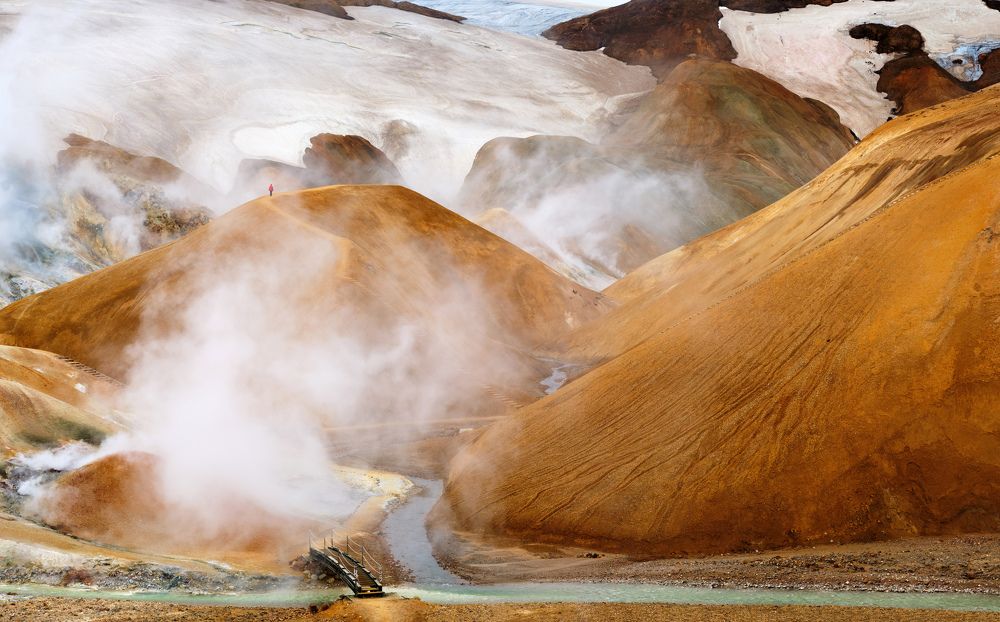
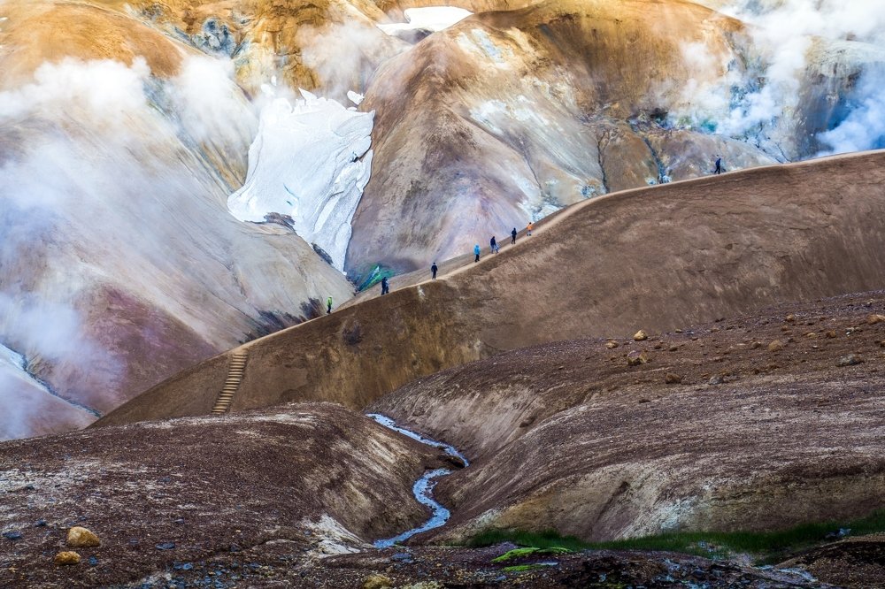
The images depict the rhyolite mountains and geothermal fields of Kerlingarfjöll in Iceland. Photographers are drawn to this landscape for its vivid mineral colors—ranging from deep reds and oranges to yellows and greens—and the dramatic contrast between the warm earth tones and the white steam rising from the ground. The series captures the terrain from various angles, including high vantage points that emphasize the scale of the hills and close-ups of the winding hiking trails. Shooting typically occurs during the summer months when the weather is most accessible for trekking.
The area is a prominent destination for hikers due to its extensive network of marked paths and the unique geological activity visible on the surface. The presence of people in several shots provides a necessary sense of scale against the vast, undulating slopes. These photographs document the interplay between the rugged volcanic terrain and the atmospheric conditions created by the active hot springs.
The group is united by the specific visual motif of colorful geothermal mountains and the serpentine paths that traverse them.
How to shoot it
📍 Where to shoot
The shoot takes place outdoors in the highland area of Kerlingarfjöll (Iceland). The location is characterized by colorful geothermal mountains, fumaroles, and serpentine trails.
🧭 How to get there
Access to highland trails is typically open during the summer season (June–September); in winter, the path is closed by snow. Climbing peaks and crossing rift zones requires good physical fitness, as the route involves hiking over difficult terrain.
🕐 Time of day
Most shot between 19:00 and 22:00 (41% of frames)
Based on 17 frames with camera data. Camera clock time; the time zone is unknown.
Shooting usually occurs in the evening hours (15:00–21:00), allowing for soft light and avoiding daytime heat.
🗓️ Season
Most shot in: August, July, June
Based on 17 frames with camera data
The best time to visit is summer, especially July and August, when trails are open. In autumn (September), the light becomes softer, but weather conditions are less predictable.
🎒 Gear
A telephoto lens (70–400 mm) is preferred to compress perspective and capture distant details, or a 24-105 mm zoom. An aperture of f/9 provides the necessary depth of field for landscapes.
Cameras and lenses the authors used (10)
Sony SLT-A99V 4Nikon D750 3Canon EOS 5D Mark IV 2Sony ILCE-7M3 2Sony DSLR-A850 1Sony 70-400mm F4-5.6 G SSM (SAL70400G) 5Canon EF 24-105mm f/4L IS USM 2FE 85mm F1.8 2AF-S Zoom-Nikkor 24-70mm f/2.8G ED 1Canon EF-S 17-55mm f/2.8 IS USM 1
🧳 What to bring
Warm clothing and waterproof footwear (the geothermal zone is wet), rain cover for equipment, spare batteries (cold drains them quickly), water, and food. The route requires good physical fitness.
⚙️ Settings
Shutter 1/250 (1/800 – 1/80)Aperture f/9 (f/7.1 – f/11)ISO 200 (100 – 400)Focal length 70 mm (38 – 130)
Based on 17 frames with camera data. Median and 10-90% range across the idea frames.
The key parameter is an aperture of f/9 for maximum landscape sharpness. Shutter speed is short (median 1/250 s), ISO is low (100–400) in daylight.
⚠️ Good to know
Geothermal activity creates constant steam and fog, which is important to consider for composition. The route is closed by snow in winter, so plan your trip for the summer season.
📈 How the idea developed
works uploadedshare of all site uploads, per 100k
The date is when the file was uploaded to the site. The chart counts works assigned to the idea.
✅ How to repeat it
- Use fumarole steam as a natural filter to create volume and atmosphere in the frame.
- Shoot during evening hours (15:00–21:00) to catch soft light on the colorful slopes.
✨ Interesting facts
- 🏆 How the best frame was shot: Sony SLT-A99V, Sony 70-400mm F4-5.6 G SSM (SAL70400G), 1/640, f/9, ISO 400, 70 mm
- 🔇 88% of frames were shot at ISO 400 or lower: almost no noise, any modern camera will do
- 📐 82% of frames are landscape orientation
- 🥇 5 works reached the finals, 1 won. Best contest: Man and landscape 2023
- 👤 Most frequent authors: Татьяна Ефименко 6Paolo Gabriele Maiero 2Zaprin Geguskov 2Сауль Анастасия 2
- 🌍 Authors by country: 🇷🇺 RU 7🇧🇾 BY 6🇺🇦 UA 2🇧🇬 BG 2🇮🇹 IT 2
Some tips are prepared by AI from the idea description, photos and their EXIF. Check the rules and access to places before you travel.
Works
These lists are generated automatically and may contain inaccuracies. Photos are shown in random order, and selections are refreshed twice a day. This section is made for exploring photos and does not claim 100% accuracy. The lists include photos that previously participated in contests that are already completed.